A multidecade analysis of satellite imagery shows a steady “alpine greening” on Mount Katahdin and other high-elevation sites across New England and eastern Canada, a Dartmouth College researcher said Tuesday.
Study methods and key finding
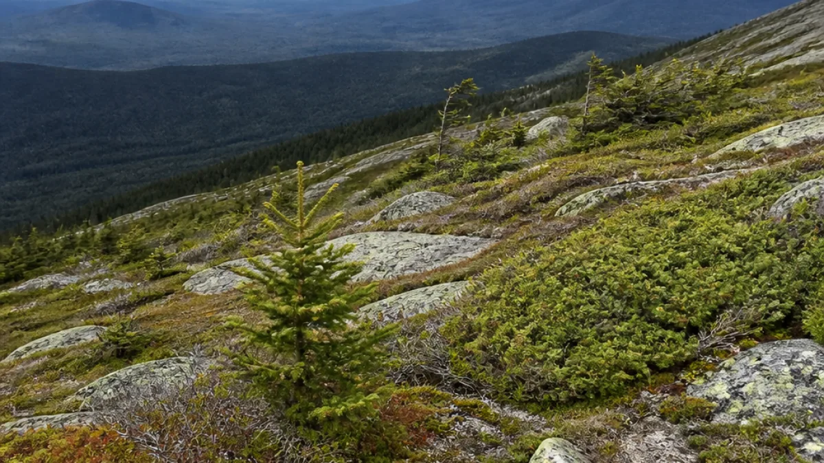
Jonathan Chipman, the Dartmouth researcher who commissioned the study, said the team used satellite images spanning more than 40 years to examine long-term changes in alpine zones — the areas above tree line where climatic conditions normally prevent tree growth. The analysis found a gradual increase in vegetation cover in those zones, and in some places trees are beginning to encroach into areas that were formerly treeless.
“Over the past four decades, there’s been a gradual greening process above tree line on these mountains. In some cases, trees are starting to spread up into areas that were formerly above tree line. Climate warming is contributing to this,” Chipman said.
Chipman said the study compared summit environments across New England and eastern Canada, noting especially visible changes on Mount Katahdin, Maine’s highest peak. The research did not provide a timeline for when specific species might be lost but warned that smaller alpine zones are at greatest risk.
Impacts on rare plants and park management
Nava Tabak, natural resource director for Baxter State Park, said long-term data are essential to detecting changes that are too subtle to see year to year. Tabak highlighted alpine sedge communities as particularly affected and warned that rare plants are vulnerable to population declines as vegetation shifts.
“Rare plants are, by their definition, somewhat more sensitive to these changes in population, sensitive to becoming extinct,” Tabak said.
Baxter State Park operates as a public trust and follows a largely hands-off wilderness management strategy, Tabak said, focusing on managing visitor behavior rather than intervening directly in plant communities. Park officials continue to emphasize staying on marked trails to reduce trampling and other visitor impacts on fragile alpine vegetation.
- Data source: satellite imagery spanning more than 40 years, the study’s author said.
- Primary observation: increased vegetation cover and tree encroachment above tree line on multiple summits, including Mount Katahdin.
- Vulnerable communities: alpine sedge and other rare plants on small alpine summits.
The study adds to a growing body of research linking climate warming to upward shifts in vegetation zones. Park managers and researchers say continued monitoring is needed to track changes and to inform conservation approaches for fragile alpine ecosystems.