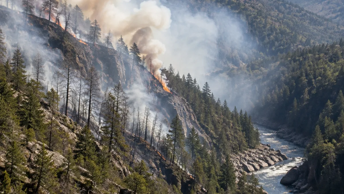
The Wild River Fire in the White Mountain National Forest had grown to approximately 378 acres and was 11% contained as of Tuesday, according to the U.S. Forest Service.
The fire is burning in Coos County about seven miles southeast of Gorham, on the northwest side of the Wild River and roughly one mile west of the New Hampshire-Maine border. The area is west of Mount Hastings, which is in Maine’s Oxford County.
Firefighters face steep terrain
The Forest Service first responded at about 1 p.m. Sunday, after the fire was reported in the remote area. Officials estimated Monday that the fire covered about 300 acres. The blaze grew moderately as crews worked to build and secure fire lines.
Sarah Hankens, a spokesperson for the White Mountain National Forest, said the response included 50 assigned personnel Tuesday, up from 40 on Monday. Firefighters are working in steep, rugged and forested terrain, with the fire burning through timber, snags and leaf litter.
- The fire was first reported Sunday, Nov. 1.
- Containment was estimated at 11% Tuesday.
- Helicopters and drones are supporting reconnaissance and suppression work.
Higher humidity was expected Tuesday and could limit the fire’s spread, Hankens said. Drought conditions continue in the region, adding to the challenges facing crews. The cause of the fire remains under investigation.
The Forest Service said the fire posed no significant threat to life or property as of Tuesday. Smoke may be visible in nearby areas, and officials warned that smoke could reduce visibility for motorists. Drivers who encounter smoke should slow down and use their headlights.
Aerial resources are being used to support firefighting operations, but officials also warned that unauthorized unmanned aircraft can endanger pilots and firefighters. The Forest Service said drones should not be flown over or near the fire.
Smoke information for the area is available through the AirNow Fire and Smoke Map, a service of the U.S. Forest Service and the U.S. Environmental Protection Agency. The Forest Service continues to assess the fire as crews work to limit its spread and increase containment.